


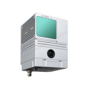
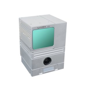
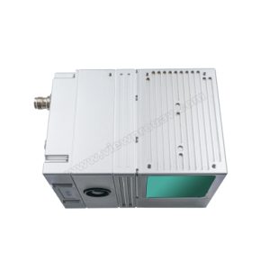
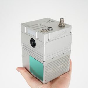
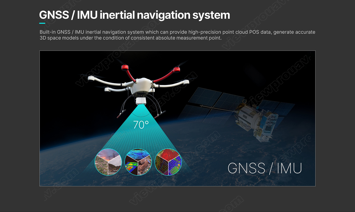
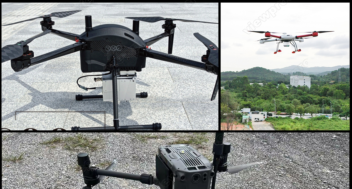
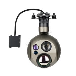
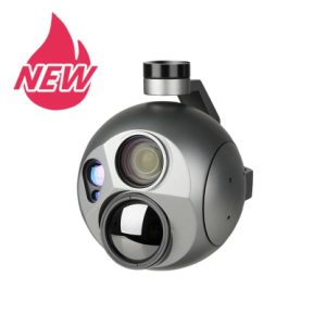
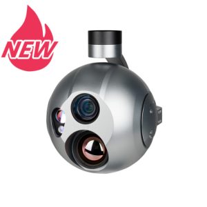
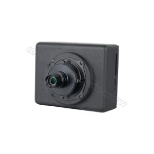
The feature of high precision GNSS position and IMU INS ensure GS-100C active and real-time perception of the environment, dynamic spatial position relationship of objects and also generate accurate 3D space models under the condition of consistent absolute measurement point.
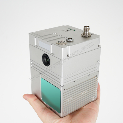
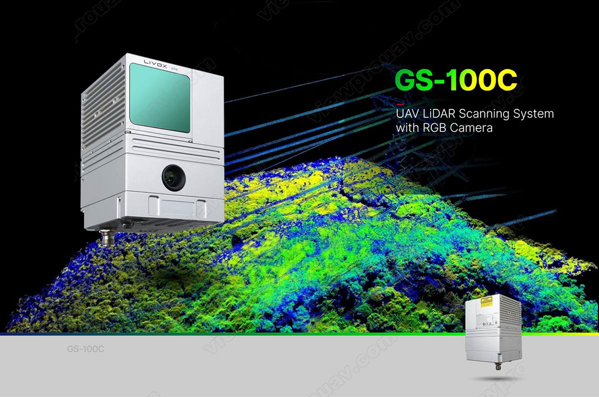
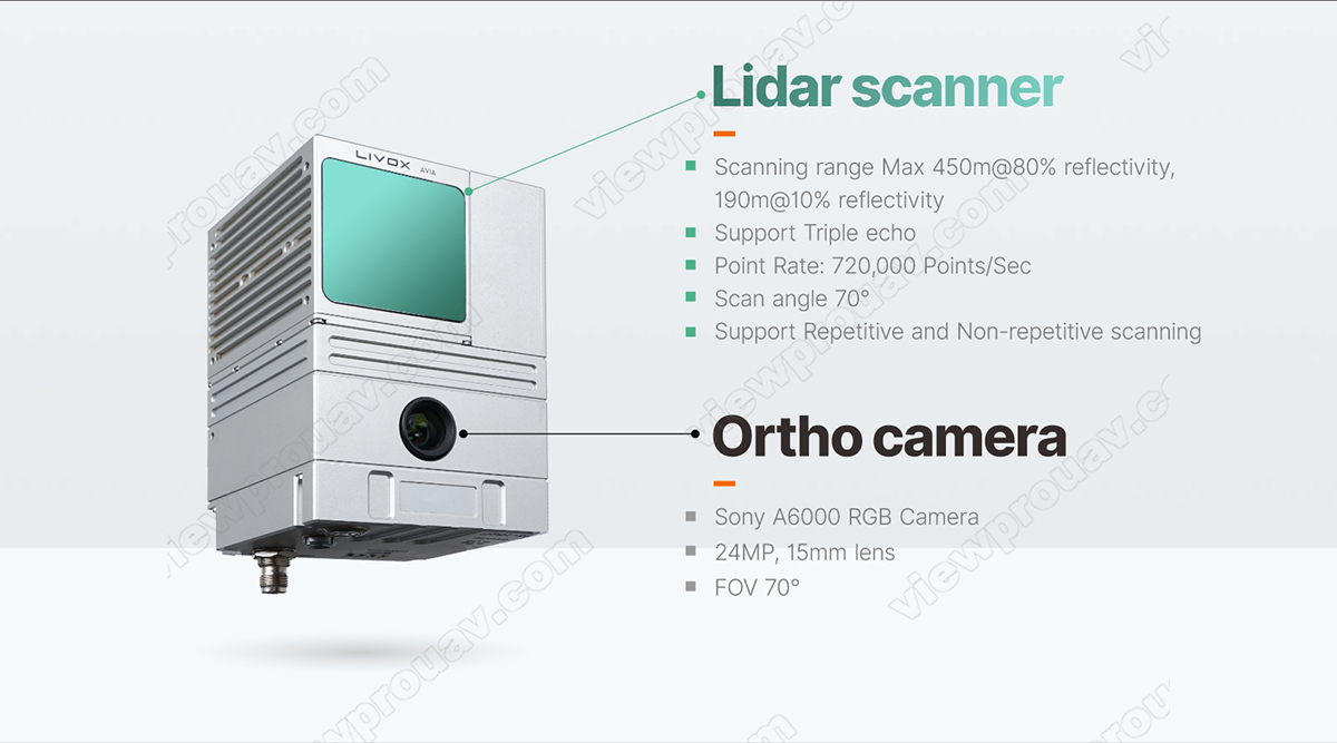
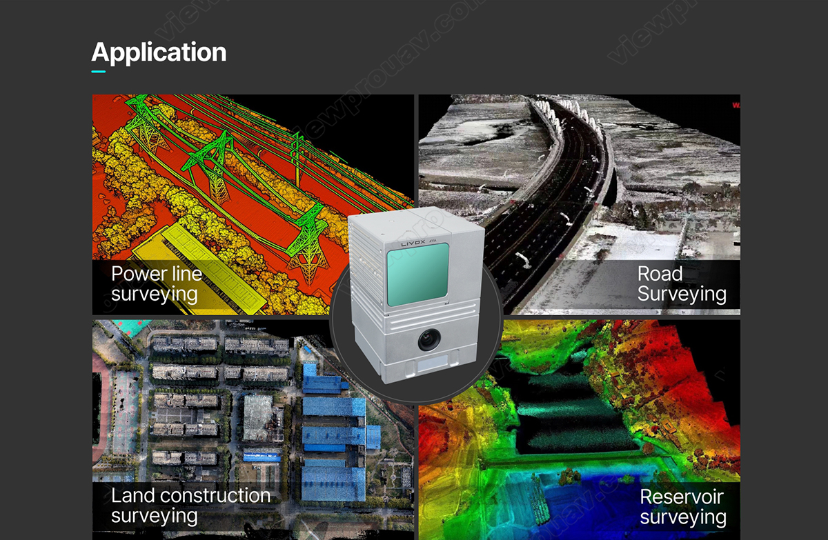
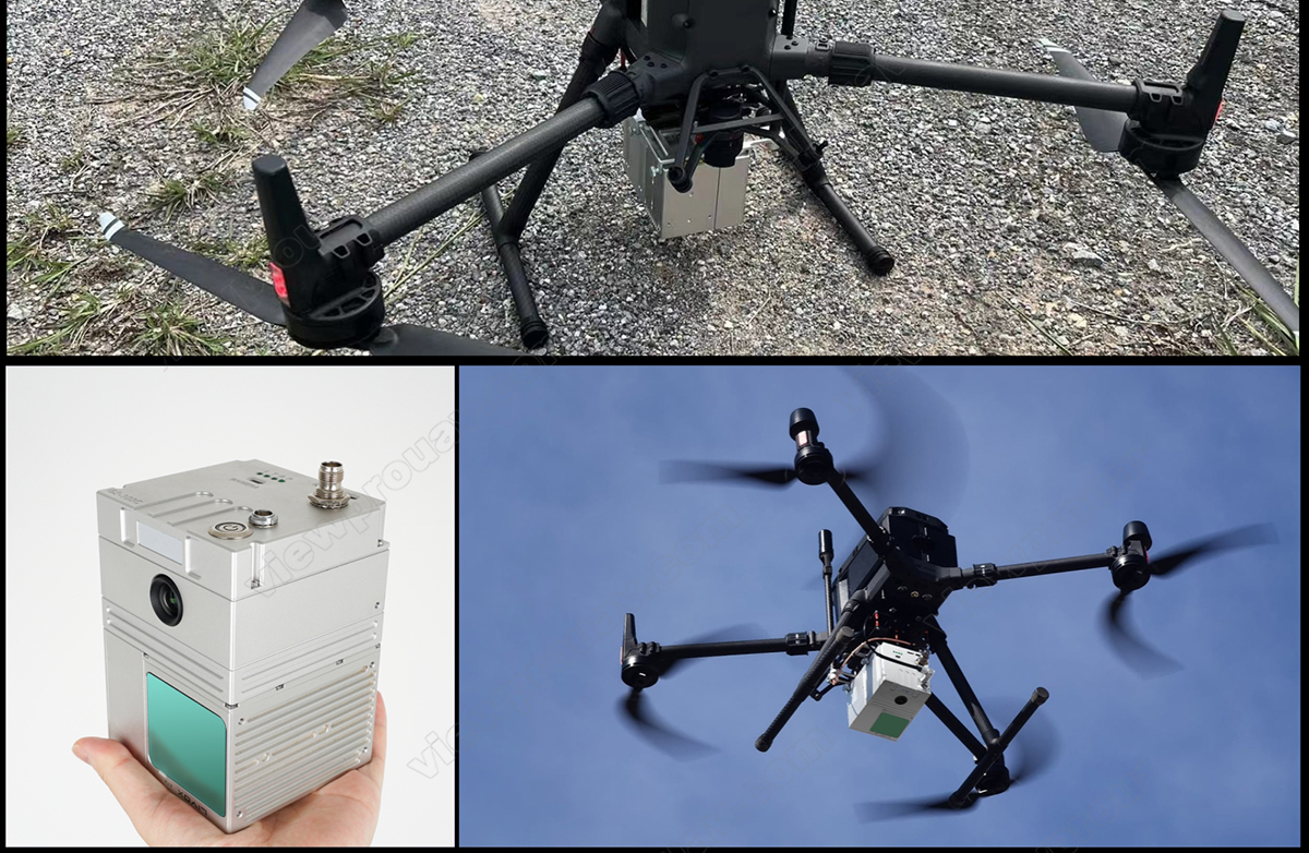
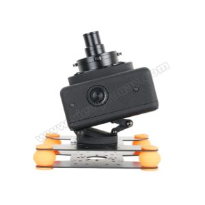
Features with light-weight (only 1.05kg), fast data processing speed, it can be integrated with various multicopter to quick obtain the 3D position and attribute information of the object in the mission area. Through the data processing software , it will generate the digital image such as DEM, DOM (Sony A6000 24mp surveying camera), DSM, DRG, DLG. Which can be widely used in the Digital city construction, river and soil research, Land survey, Forestry and Agriculture analysis.
| Model: GS-100C | Артикул | Параметр | ||
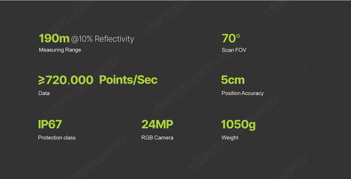
| Laser Scanner | Диапазон измерений | 190m@10% reflectivity | ||
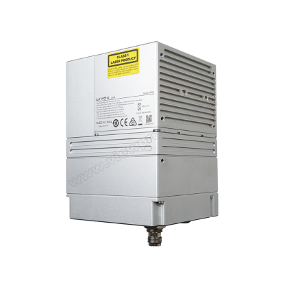
| Laser Class | 905 нм Класс1 (IEC 60825-1:2014) | |||
| Laser Line Number | Эквивалент 64-лучевой | |||
| FOV | 70°the circular view | |||
| Range Accuracy (1σ @ 20m) | 2 см | |||
| Данные | Triple echo,720,000 Points/Sec | |||
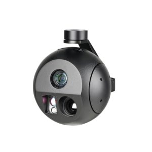
| Камера | FOV | 70° | ||
| Разрешение | 24MP | |||
| Focus length (mm) | 15 мм | |||
|
POS |
Update Frequency |
200HZ | ||
|
Pitch /Roll Accuracy |
0.015° | |||
|
Heading Accuracy |
0.040° | |||
|
Position Accuracy |
≤0.05m | |||
|
GNSS Signal Type |
GPS L1/L2/L5,GLONASS L1/L2BDS B1/B2/B3,GAL E1/E5a/E5b | |||
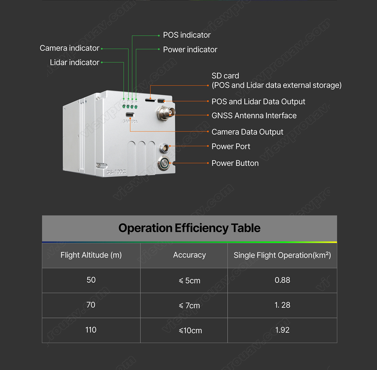
| Системный параметр | Точность | ≤10cm@110m | ||
| Вес | 1050g | |||
| Working Temperature | -20°~+55° | |||
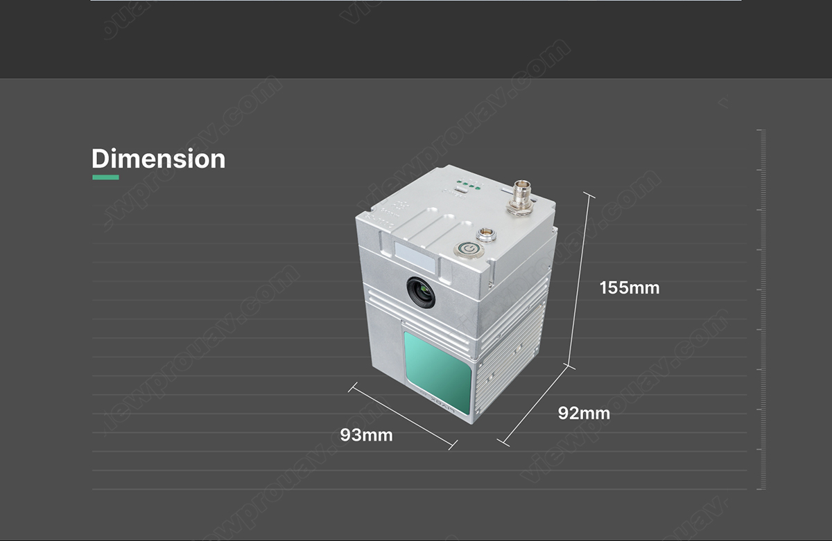
| Размер | 15.5*9.2*9.3cm | |||
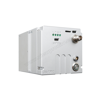
| Хранение | Internal 64 GB, Max support 128GB TF card | |||
| Carrying Platform | Multicopter with 10m/s flight speed | |||
| Вес | 1 кг |
|---|
Будьте первым, кто оставил отзыв на “GS-100C UAV Laser Lidar Scanning System with 24MP Camera for Drone 3D Mapping and Surveying”
Для отправки отзыва вам необходимо авторизоваться.
Похожие товары
Имбулы и полезная нагрузка

Имбулы и полезная нагрузка
A30TR-50M Лазерный дальномер EO/IR камера с автоматической идентификацией и отслеживанием Al
Имбулы и полезная нагрузка

Имбулы и полезная нагрузка
VO-120S 3D косая камера для картографии и геодезии с функцией геометки
Имбулы и полезная нагрузка
Имбулы и полезная нагрузка
Картографическая камера VOM-42 42MP для аэрофотосъемки больших территорий
Имбулы и полезная нагрузка
Отзывы
Отзывов пока нет.