


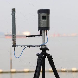


نظام محطة قاعدية عالية الدقة لنظام تحديد المواقع العالمي (GPS) لقياس تحديد المواقع عبر الأقمار الصناعية
RTK drone using Real-time kinematic (RTK) positioning is a satellite navigation technique used to enhance the precision of position data derived from satellite-based positioning systems (global navigation satellite systems, GNSS) such as GPS, GLONASS, Galileo, and BeiDou. It uses measurements of the phase of the signal’s carrier wave in addition to the information content of the signal and relies on a single reference station or interpolated virtual station to provide real-time corrections, providing up to centimetre-level accuracy. With reference to GPS in particular, the system is commonly referred to as carrier-phase enhancement, or CPGPS. It has applications in land survey, hydrographic survey, and in unmanned aerial vehicle navigation.


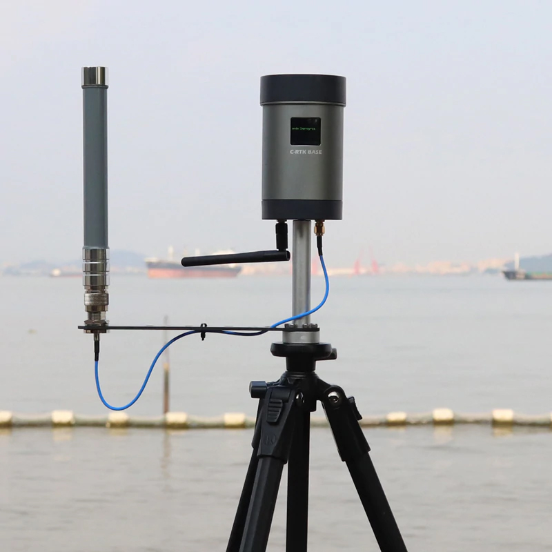

المواصفات:
Size (cm):28*20*15cm
weight: 2KG
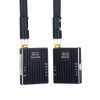
Package including:


| الوزن | 3 كيلوجرام |
|---|
كن أول من يقيم “RTK drone solution high precision GPS base station system for measuring satellite positioning mapping”
يجب عليك تسجيل الدخول لنشر مراجعة.
منتجات ذات صلة
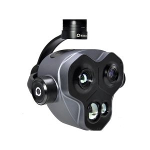
كاميرا Gimbal أخرى
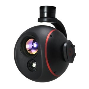
كاميرا Gimbal أخرى
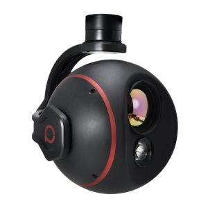
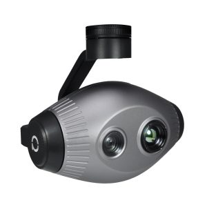
طائرة بدون طيار ذات محورين للتصوير الحراري ثلاثي المحاور مزودة بكاميرا 4K

كاميرا Gimbal أخرى
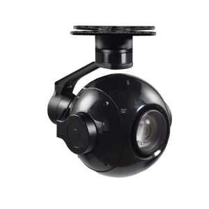
كاميرا مثبت حمولة الطائرة بدون طيار ذات الحمولة غير المأهولة ذات جودة صورة عالية الدقة 1080 بكسل

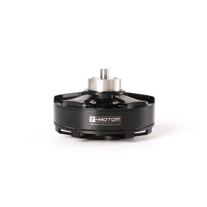

محرك طائرة بدون طيار
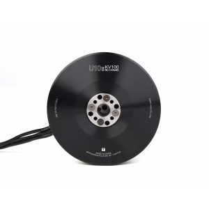
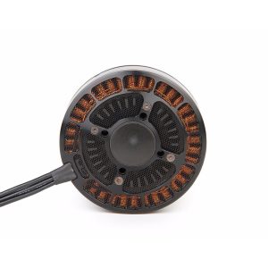
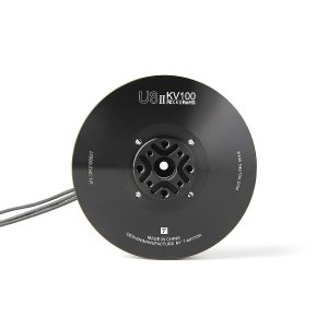
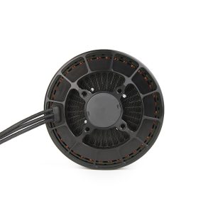
محركات الطائرات بدون طيار الكبيرة U13 KV85 KV100 للطائرات بدون طيار


المراجعات
لا توجد مراجعات بعد.